Directory · Historical checks
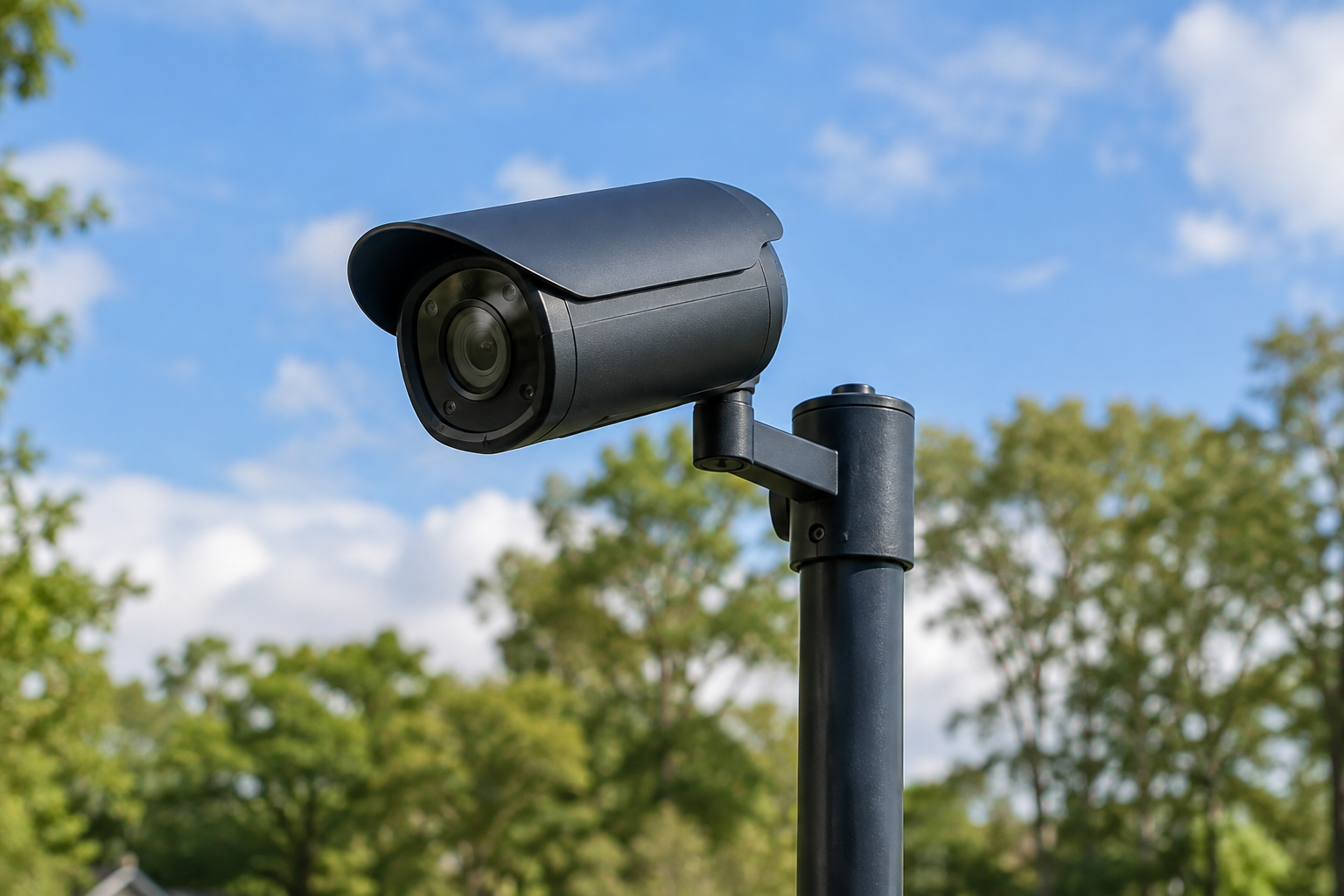
Camera Directory
Search published traffic, coast, river and community camera links. Playback checks show when each test happened.
Explore Camera Directory → SC TAKResource Center
Checking automatic collection…
Open Interactive Resource Map →
Explore SCTAK’s cameras, weather, communications and emergency resources in one place.
Incident, water, marine/aviation, and emergency collections are scheduled to refresh automatically. Camera and radio directories retain their dated source checks. Check each source timestamp; missing records never mean there are no hazards.
SC-focused coverage, with roughly a 25-mile buffer for nearby hazards and coastal observations. Radio coverage includes transmitters serving SC.Search published traffic, coast, river and community camera links. Playback checks show when each test happened.
Explore Camera Directory →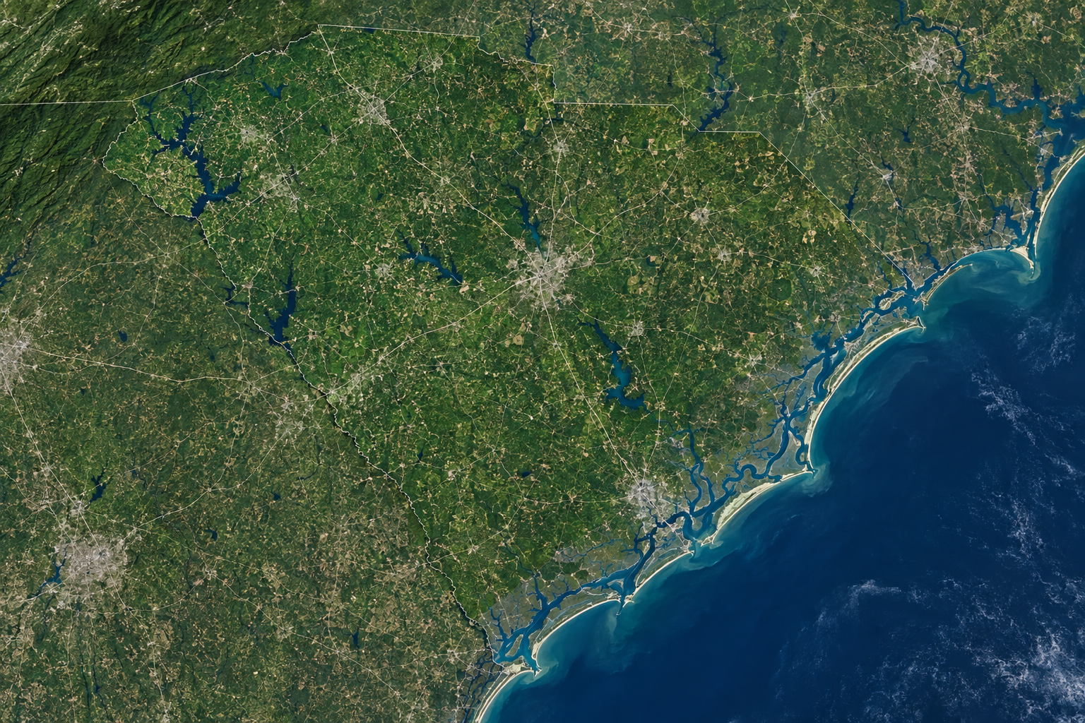
Browse collected road events, weather alerts, fire detections and water observations, with source age and status.
Explore Incidents, Weather & Water →Find SCHEART and NOAA Weather Radio listings, frequencies and county SAME codes. Unknown locations stay unmarked.
Explore Radio & Repeaters →Check official shelter and evacuation information and utility outage maps. Follow provider announcements for current status.
Explore Emergency Resources →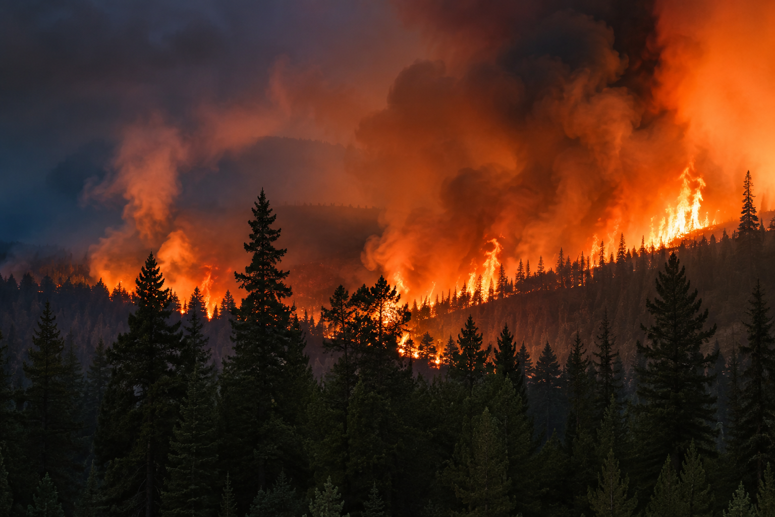
Open official radar and AirNow maps. Integrated radar imagery and air-quality data are still being verified.
Explore Radar, Smoke & Air Quality →
Explore SC airport observations, terminal forecasts and nearby marine stations. Expired forecasts and older readings are labeled.
Explore Marine & Aviation Weather →Use your account to access WebTAK, download ATAK setup and manage your profile. Follow cameras in the directory to save them to your dashboard. Save map views to your profile. Alert delivery is not connected yet.
Open My Account →