Real Data.
Stronger Communities.
SCTAK is a community driven, open to the public
TAK and data hosting service based in South Carolina.
South Carolina
Stronger Together
Community. Data. A Safer Tomorrow.
SCTAK gives people the tools to share and access real-time information
like cameras, wildfire updates, weather, and more. Built for South Carolina.
Open to the public. Powered by you.

Your State.
Your Data.
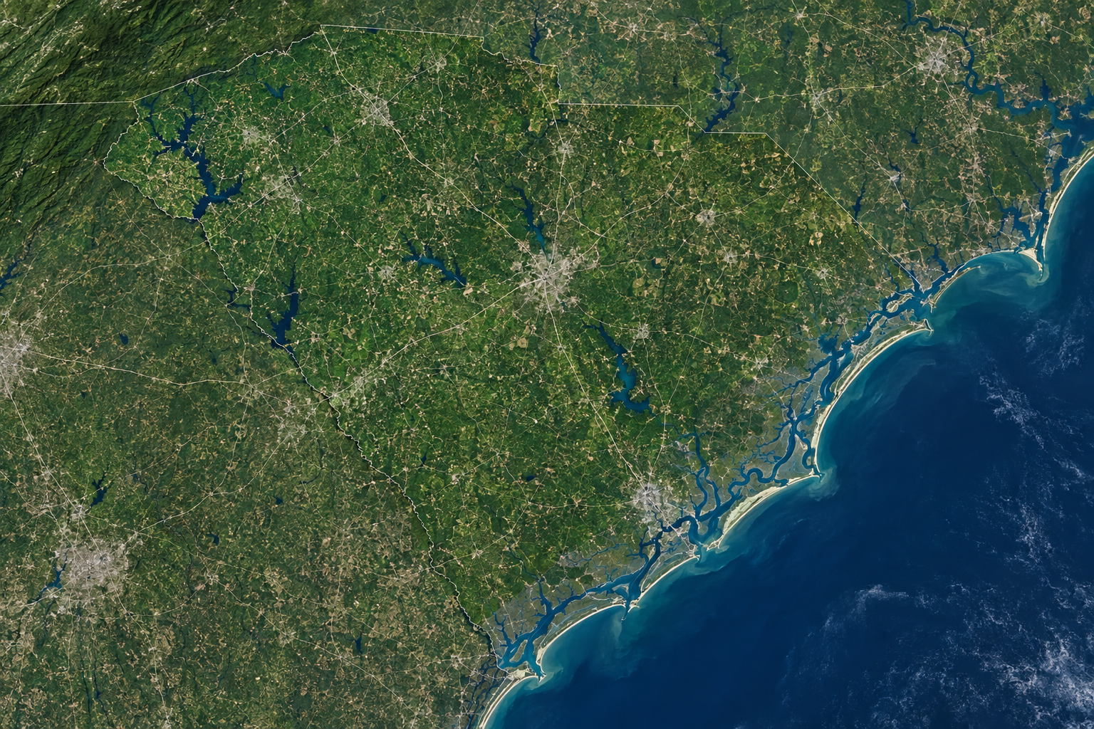
An interactive, community-powered map of South Carolina. View live cameras, incidents, weather, and more. Download the data. Share your own.
Open the MapBuilt by the Community.
For a Safer South Carolina.
Built by Raptor Systems. Powered by the community.
Your team.
Your shared picture.
WebTAK is SCTAK’s browser-based TAK access. A registered SCTAK account is required to access the service.
Public community resources remain available without WebTAK access.
Registered users only
Log in with your SCTAK account, or register to get started.
Log In to WebTAKRegister for SCTAKwebtak.sctak.org · Account required
My ProfileMap Explorer & Downloads
Browse public map resources and premium data packages for offline use, research, preparedness, and community awareness.
South Carolina Base Map
Counties, cities, major roads and reference features.
Wildfire Risk & History
Historical fire perimeters and planning layers.
Flood Risk Zones
Flood-related reference layers and resources.
Emergency Resources
Shelters, hospitals, agencies and critical resources.
Real Eyes. A Safer South Carolina.
View community-provided feeds and public information from across the state.
Browse Camera Directory → All South Carolina Resources →
Charleston Harbor
Waterfront · Charleston County
Folly Beach
Beach Access · Charleston County
I-26 / US-17
Highway · Berkeley County
Myrtle Beach Pier
Coastal · Horry County
Wildfire & Incident Updates
Contribute to SCTAK
Community submissions can include public-safe cameras, map resources, incident reports and other useful local information.
Share useful information. Keep it trusted.
SCTAK is designed around useful, moderated community contributions that strengthen public situational awareness without exposing sensitive information.
Submit a Camera
Suggest a public-safe camera feed for review and inclusion on SCTAK.
Share a Map
Contribute useful local mapping data, prepared resources, or public datasets.
Moderated Contributions
Community submissions are reviewed before appearing in public-facing layers.
One community. More ways to contribute.
Every member uses one SCTAK username and password. Supporters and approved contributors receive extra content access. Membership never grants administrator permissions.
Free
- SCTAK and WebTAK login
- ATAK certificate enrollment
- Community cameras and public maps
Supporter
Paid membership · Pricing coming soon
- Everything in Free
- Access to premium map downloads
- Access to additional curated layers
Paid signup opens when billing and the premium content library are ready.
Contributor
Granted for approved contributions
- Everything in Free
- The same extra content access as Supporter
- Recognition for helping the community
SCTAK reviews contributions and grants this membership. Submitting content does not automatically upgrade an account.
All new accounts start Free. Extra downloads and layers will appear as they are published. Membership status is managed by SCTAK; no payment information is collected here.
Log in
New to SCTAK? Create an account →
Connecting to the account service…
WebTAK access is available to registered users. Your access status appears in your profile. WebTAK uses the same credentials with a separate sign-in.
← Back to public siteCreate your account
Already registered? Log in →
Connecting to the account service…
Registration does not purchase a membership.
YOUR SCTAK PROFILEYour community starts here.
Log in to view your account and WebTAK access.
Log InCreate AccountMy Account
A Stronger South Carolina.
Together.
Manage your profile, connections, and membership.
Real data. Real people. A safer tomorrow.
Explore SC Resources — Cameras, Weather, Radio & More →
Camera favorites are connected. Saved map views are connected. Opt-in alerts appear in your site inbox. Download history shows files prepared during the last 90 days.
Saved Maps
Save your map location, zoom and layers. Open a view to see the latest collected data.
Create a Saved Map →Ready-to-use Maps
Download a ZIP of collected data with source timestamps, or save a selection to your account. Background tiles and live video are not included. These are GeoJSON data snapshots, not ATAK setup packages.
Followed Cameras
Your followed cameras are saved to your account.
Explore Cameras →Alert Preferences
Opt in to the SCTAK inbox. Statewide and nearby source coverage, not county-specific. New and materially changed active events appear within about a minute after collection. Email is not connected. Device push is optional below.
Turn off all categories and save to unsubscribe. Gauge measurements and satellite heat detections do not automatically become warnings.
Device notifications
Browser push is optional and follows your saved alert categories. It shows new alerts outside SCTAK through your browser’s push service. Delivery may be delayed by your device or network. Signing out disables push for that sign-in on this device.
On iPhone or iPad, add SCTAK to the Home Screen, open it there, then enable push. Disable a device here or uncheck all alert categories to stop alerts.
Your notification inbox
Downloads
Your field tools, in one place.
Download ATAK setup or a map snapshot with source timestamps. History records files prepared by SCTAK, not confirmed device saves or imports.
Download a Map SnapshotDownload History
Membership Overview
YOUR CURRENT PLANNo online billing is connected. Membership benefits never grant administrator access.
Explore Memberships →Account Activity
Additional activity history is not available yet.
Your login. Your device.
Download ATAK Setup- Download this ZIP on your Android device.
- Open ATAK Import Manager and import the ZIP.
- Enter your SCTAK username and password when prompted.
ATAK generates its private key on the device and enrolls a 90-day certificate. Server: tak.sctak.org · TLS 8089 · Enrollment 8446. Your website and WebTAK sign-ins use the same credentials, with separate sessions.
Join with iTAK.
Scan the server QR code, then enroll using your own SCTAK username and password.
iTAK Setup & QR Code →SCTAK LIVE
Open your shared picture.
Launch WebTAK ↗webtak.sctak.org
Profile details
Choose how you’re known within SCTAK.
Use this username in ATAK and WebTAK. Changing your display name or callsign does not change your certificate identity.Explore SCTAK
Resource Center →Community resources are always within reach.
Browse maps →Community cameras →Optional memberships →Appearance
Choose a light or dark view. Your preference is saved on this browser.
Community controls
Manage member benefits. TAK administrator permissions remain separate.
Members
Membership access
This changes content benefits only. It never grants administrator access or changes TAK groups.
Recent membership changes
Changes are recorded with the administrator and reason.
South Carolina community information, built around interoperability.
SCTAK is a community-driven system built by Raptor Systems for South Carolina. It is envisioned as an open-to-the-public information service with community cameras, downloadable maps, incident layers, browser-based TAK-style situational awareness, and optional paid member benefits.
South Carolina Focused
Statewide resources with room for county and regional community layers.
TAK Compatible Direction
A public-facing web experience that can later connect to real TAK/CoT infrastructure.
Community Driven
Useful public submissions, moderated data, and member-supported hosting.